Metropolitan Transport Information System
by Digital Geographic Research Corporation
25+ years innovating
- HOME
- PRODUCTS & SERVICES
- RESOURCES
News & Commentary News & Press Reports Light Technical Geography 80-20 (nuggets for adults) Geography Kids' Hangout Technical METRIS Publications GIS Publications Associated projects NCRST VITAL
- ABOUT
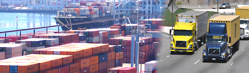
PORT congestion is a growing concern worldwide, as yesterday's infrastructure struggles to cope with tomorrow's freight volumes. Decision makers need a dashboard of timely performance measures, to illuminate complex policy issues such as longshore labor hours, congestion-pricing and air quality.
METRISSM measures the efficiency of truck-terminal interaction. Combining high-resolution GPS with rigorous GIS methods, our calculations of “turn time” are accurate and insightful. They can often identify causes of recurring delay.
Our real-time service, METRIS LiveQ, monitors queue length, duration and progress, effectively providing a control-tower view of an entire port.
In the ports of Los Angeles and Long Beach, which handle more than 40% of U.S. container trade, METRIS has been active since 2007. In 2011, a Truck Turn Time Stakeholders Group — a coalition of motor carriers, beneficial cargo owners, marine terminal operators and the ports — found consensus around the METRIS Turn Time report, that documented the magnitude and patterns of variation of turn time, and explored causes and remedies. Were delays due to physical capacity constraints, or policy?
METRIS can rapidly be deployed at any port. We welcome opportunities to partner with tracking service providers, retail/trucking associations, port operations consultants, and ports.